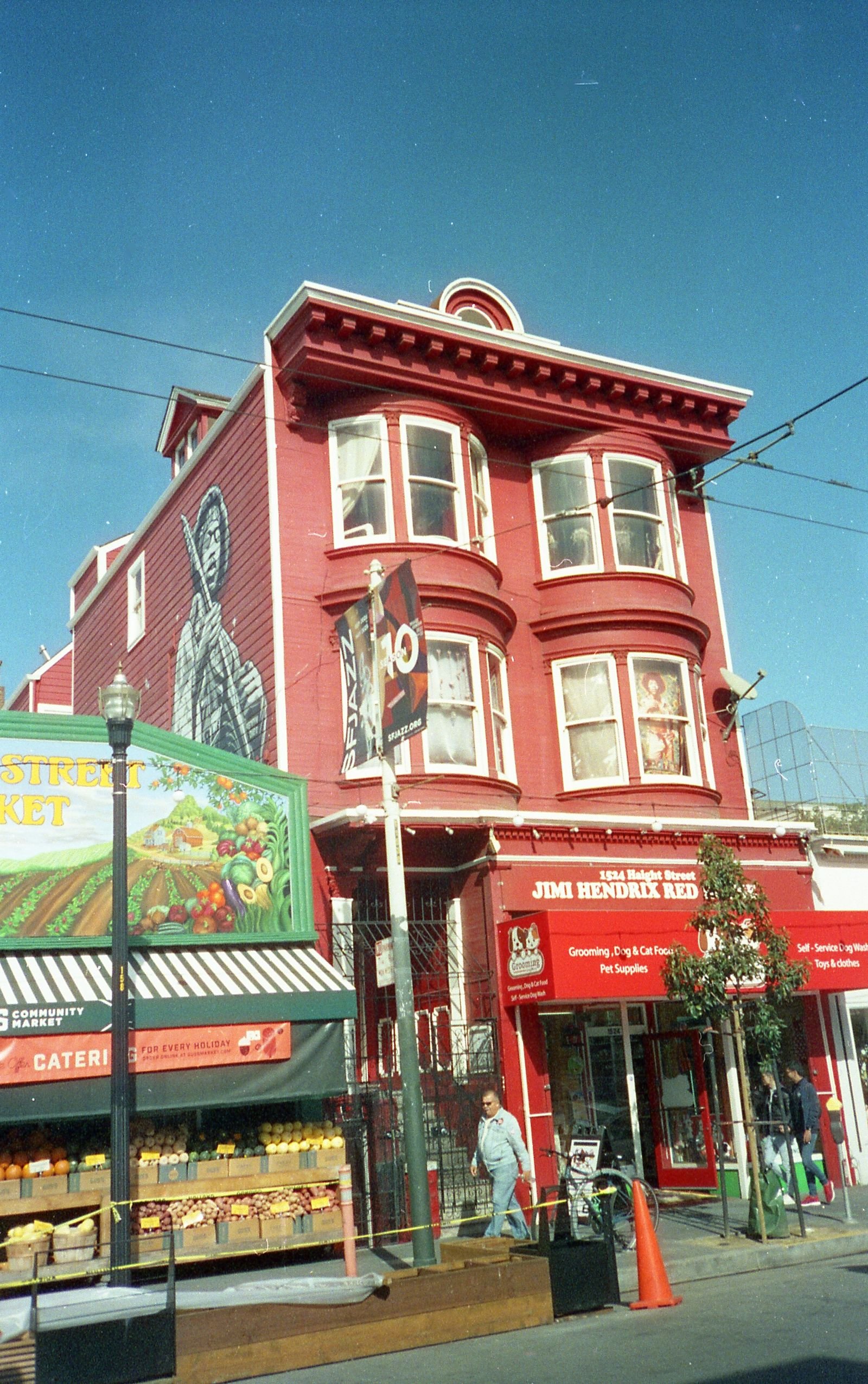
The city’s data office divides San Francisco into 41 Analysis Neighborhoods and warns they are not official neighborhood boundaries.
The Board of Supervisors has 11 members, elected by district.
Read on data.sf.gov and sf.gov, 27 October 2026; names from SF Planning.
The 41 Analysis Neighborhoods
DataSF’s dataset assigns 2010 Census tracts to 41 neighborhoods. The names below are SF Planning’s labels from its 2018 neighborhood profiles. We did not confirm that DataSF’s own list matches them name for name.
- Bayview Hunters Point
- Bernal Heights
- Castro/Upper Market
- Chinatown
- Excelsior
- Financial District/South Beach
- Glen Park
- Golden Gate Park
- Haight Ashbury
- Hayes Valley
- Inner Richmond
- Inner Sunset
- Japantown
- Lakeshore
- Lincoln Park
- Lone Mountain/USF
- Marina
- McLaren Park
- Mission
- Mission Bay
- Nob Hill
- Noe Valley
- North Beach
- Oceanview/Merced/Ingleside
- Outer Mission
- Outer Richmond
- Pacific Heights
- Portola
- Potrero Hill
- Presidio
- Presidio Heights
- Russian Hill
- Seacliff
- South of Market
- Sunset/Parkside
- Tenderloin
- Treasure Island
- Twin Peaks
- Visitacion Valley
- West of Twin Peaks
- Western Addition
Supervisorial Districts
The Board of Supervisors consists of 11 members elected by district. The districts were redrawn in April 2022 after the 2020 Census, per the city.
Project SF’s Neighborhood Pages
Each of our neighborhoods has its own page with events, places and a weekend guide. We assign them by the city’s boundary data. Pick one:
- Bayview-Hunters Point
- Bernal Heights
- Castro
- Chinatown
- Civic Center & Tenderloin
- Dogpatch
- Excelsior
- Financial District
- Fisherman’s Wharf
- Glen Park
- Golden Gate Park
- Haight-Ashbury
- Hayes Valley
- Lakeshore
- Lone Mountain & USF
- Marina
- Mission Bay
- Mission District
- Nob Hill
- Noe Valley
- North Beach
- Pacific Heights
- Portola
- Potrero Hill
- Presidio
- Richmond District
- Russian Hill
- SoMa
- South Beach
- Sunset District
- West of Twin Peaks
- Western Addition & Fillmore
To compare the weather by neighborhood, use the microclimate tracker. For parks, see every park compared.
Related
What We Could Not Confirm
- Census population and income by neighborhood: the Census pages were not readable this session.
- Whether DataSF’s list matches Planning’s 41 names.
Questions People Ask
How many neighborhoods does San Francisco have?
DataSF’s Analysis Neighborhoods count is 41, but they are not official boundaries.
Sources
- DataSF, Analysis Neighborhoods: https://data.sf.gov/api/views/p5b7-5n3h.json (read 27 October 2026)
- City of San Francisco, Understanding boundary data: https://www.sf.gov/understanding-san-franciscos-boundary-data (read 27 October 2026)
- SF Planning, Neighborhood socio-economic profiles: https://default.sfplanning.org/publications_reports/SF_NGBD_SocioEconomic_Profiles/2012-2016_ACS_Profile_Neighborhoods_Final.pdf (read 27 October 2026)
- City of San Francisco, Board of Supervisors: https://www.sf.gov/about-board-of-supervisors (read 27 October 2026)